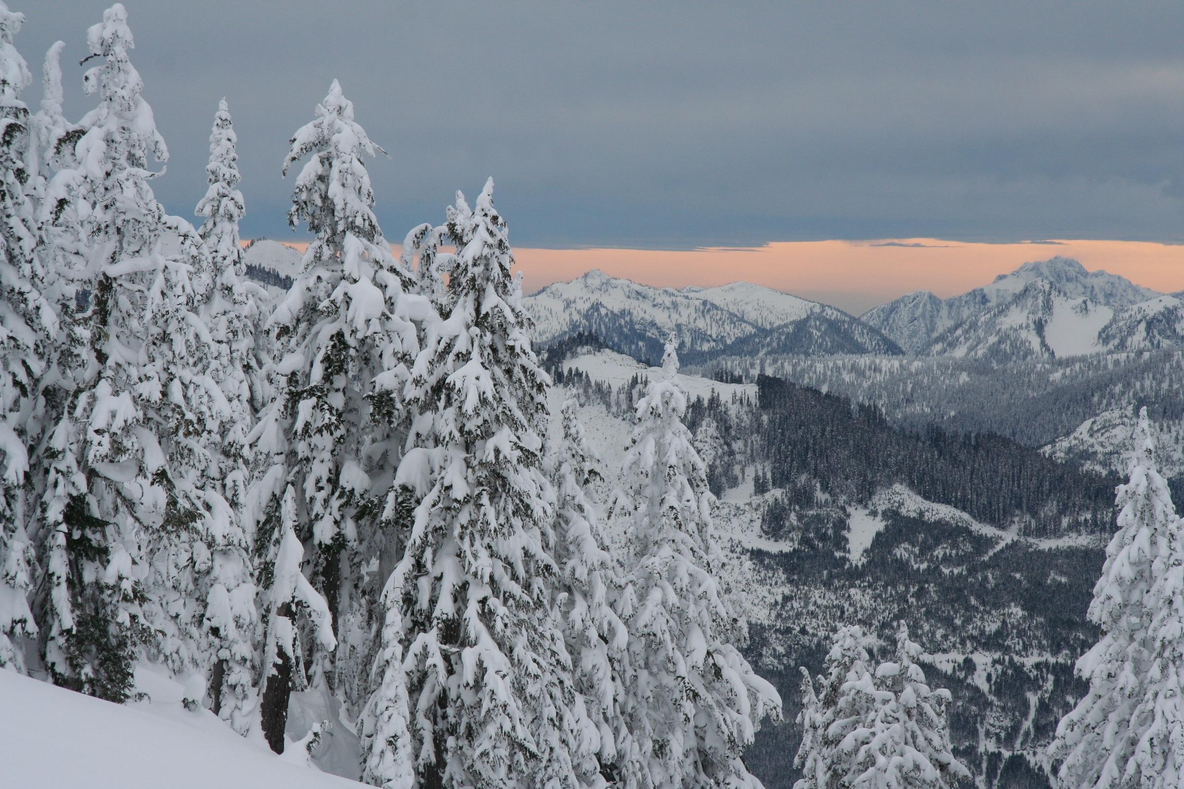
Eyes in the sky before boots hit the ground.
rescue.ai is a network of autonomous quadrotor UAVs docked at rescue bases in remote terrain. When someone goes missing, they launch in minutes, sweep the search area together, find the casualty and drop survival supplies.
How it works
From alarm to casualty located, with no pilot on the sticks.
Alarm raised
Emergency services or the rescue team log a last known position. A search area is drawn in the control panel.
Docks launch
The nearest charged UAVs launch automatically from docks at rescue bases, while ground teams are still mobilising.
Coordinated search
The area is split into sweep lanes, one per aircraft. Thermal and RGB cameras scan the ground with onboard person detection.
Find & supply
An operator confirms the detection. The UAV holds overhead, streams the position to the team on the hill and drops a survival package.
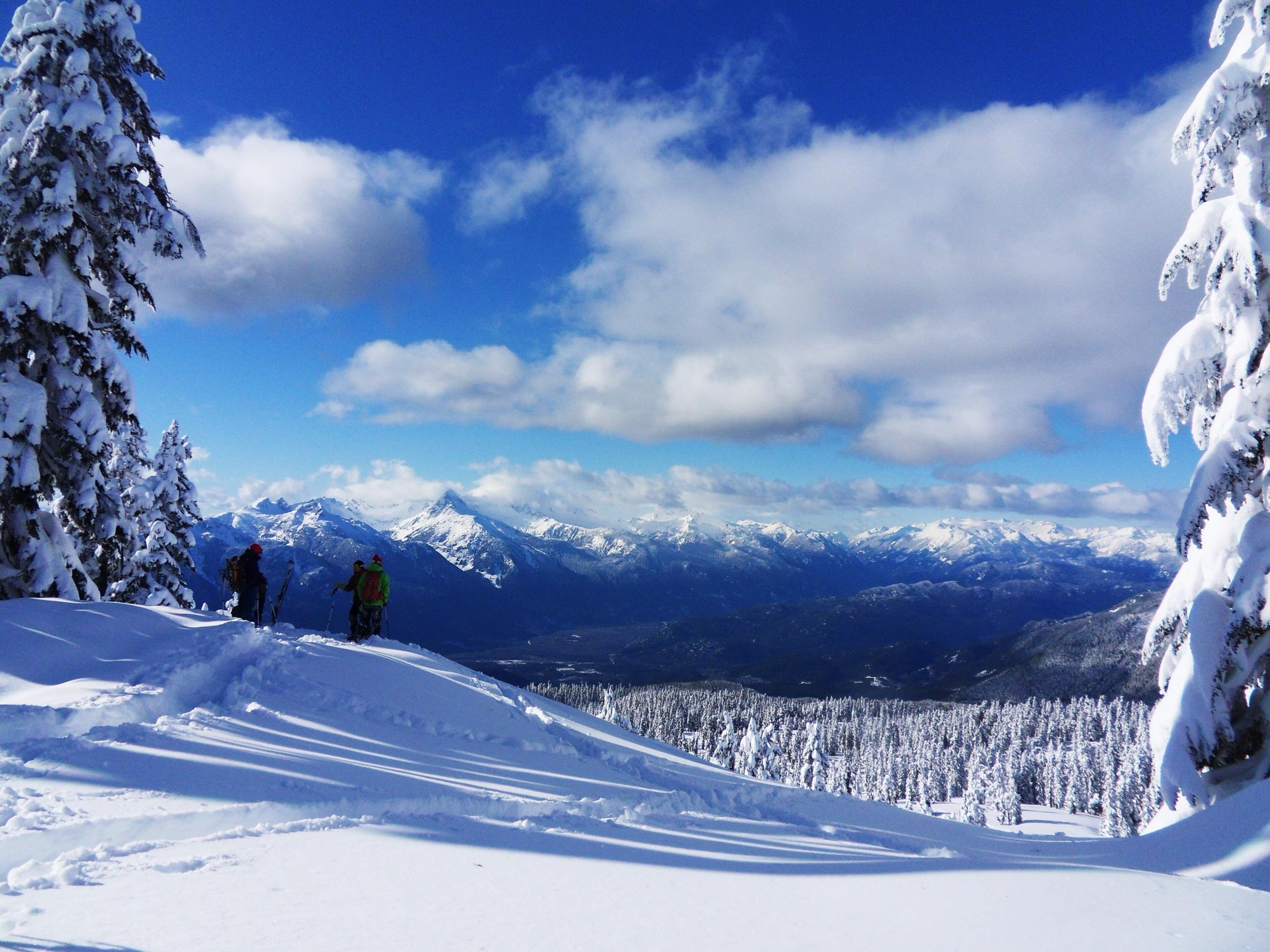
Cold. Wet. Injured. Out of signal.Every minute matters.
The system
Built from open flight hardware, run from the cloud.
Pixhawk + Raspberry Pi
A Pixhawk runs the flight control and failsafes. A Raspberry Pi companion runs autonomy, detection and the cloud link.
Cloud telemetry
Telemetry and commands travel over LTE through Azure IoT Hub, with a satellite fallback for valleys without signal.
Autonomous docks
Weatherproof docks charge the aircraft, reload the payload and keep them ready to fly around the clock.
Thermal detection
Radiometric thermal imaging picks out body heat against cold ground, even at night and in poor visibility.
Payload
Support on the hill while the team walks in.
Ground teams can need hours to reach someone on a remote ridge or hillside. Each UAV carries a compact, weatherproof package that it lowers once an operator has confirmed the casualty.
Space blanket
Cuts heat loss while a casualty waits, often in wind and rain, for a team to walk in.
First aid kit
Dressings, a compact splint and basic analgesia for the most common mountain injuries.
Energy bars
Quick calories to help with the cold and keep a casualty going.
Where it works
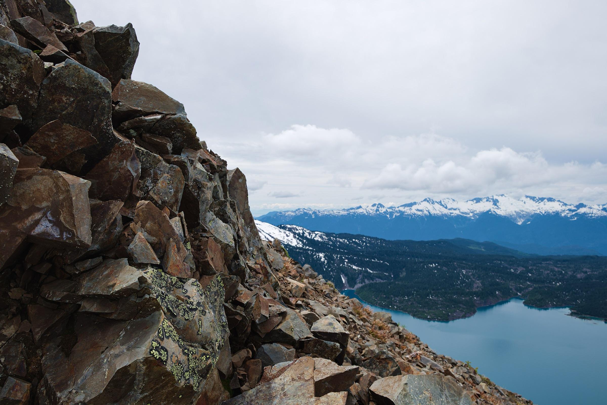
Built for the places that are hardest to reach.
Steep ground, fast-changing weather and patchy mobile coverage slow down every search on foot. rescue.ai is designed to be deployed wherever rescue teams cover remote terrain, with docks placed at their existing bases.
Field testing is currently taking place.
Run a rescue team?
We're looking for teams to help shape field trials. Operators can sign in to the control panel.
Open control panel